We present a contemporary facsimile print derived from an early 20th-century survey map of Punjab and the surrounding region. The study print preserves key cartographic features—grids, symbols, and toponyms—useful for historical geography and design reference. Printed on archival paper with a neutral finish suitable for note-taking. This is a contemporary study edition; it is not a high-resolution scan for publication. We include a brief legend explaining common map symbols and a short reading list. No image licensing is offered at launch.
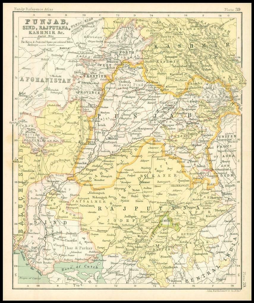
Punjab and North-West Region, c.1912
Research facsimile of an early 20th-century survey map, produced as a contemporary study print for classrooms and studios.